


The drawings say one thing. The field says another.
If you work in engineering consulting, you have seen this play out. A wall is two inches off from what the plans show. A pipe runs through space that should be clear. A structural member sits lower than documented. These are not edge cases. On projects involving existing buildings, they are the norm.
The issue is not carelessness. The issue is that most record drawings were accurate once, possibly years or decades ago, before renovations, equipment relocations, duct reroutes, and undocumented modifications quietly changed the building. Every decision made against those documents carries risk that tends to surface at the worst possible moment: when fabrication is underway, when the schedule has no slack, and when corrections cost significantly more than they would have earlier.
This is the as-built documentation accuracy problem. And it affects engineering projects far more often than most teams want to acknowledge.
Table of Contents
The Gap Between Paper and Physical Reality
When a facility changes hands, gets renovated, or ages through years of incremental modifications, the record drawings rarely keep pace. A set of MEP drawings from the 1990s might have been accurate through three or four renovation cycles, with each project team making field changes and promising to update the as-builts. Some do. Most don’t. What survives is a layered document that reflects intent more than reality.
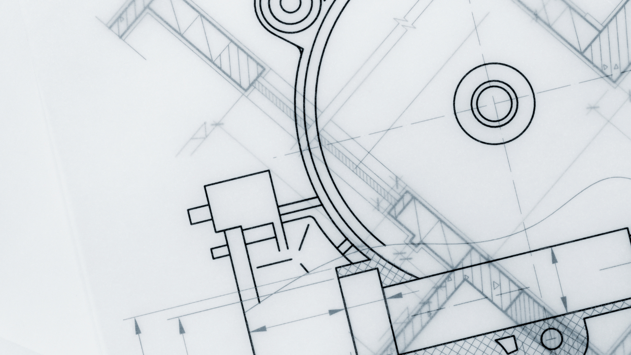
The challenge for engineering consultants is that these documents look authoritative. They have title blocks, revision histories, and engineer stamps. They feel like truth. But the confidence a formatted drawing inspires can be completely disconnected from what physically exists at the job site.

That gap surfaces at predictable points in the project lifecycle. It appears during mechanical and electrical coordination when two systems claim the same space. It emerges during prefabrication when a shop-fabricated assembly arrives on site and the field conditions don’t match the design model. It shows up during permitting when a submitted plan contradicts what building officials observe in an existing conditions review.
Each of these moments costs time. Each produces an RFI, a potential chargeback, or a scope dispute. And what the industry is learning is that in many of these situations the root cause is not a design error. The design was executed correctly against the available information. The available information was just wrong.
Why Manual Measurement Compounds the Problem
Field verification, when it happens, typically means a team member with a tape measure, a laser distance tool, and a clipboard. For simple spaces and straightforward geometry, this works reasonably well. For complex mechanical rooms, congested utility corridors, or aging industrial facilities, it introduces its own layer of error and ambiguity.
Manual measurement is point-to-point. It captures what the person measuring decides to measure. A single transposed digit, a misread reference point, or an assumption about the line of a wall can propagate through a deliverable and into downstream design and fabrication.
There is also the issue of what does not get measured. A manual survey of a mechanical room might capture the major equipment dimensions and the primary pipe runs but miss the support steel, the conduit bundle running through a critical clearance zone, or the as-installed position of a flex connection. Those omissions seem minor at the survey stage. They become significant at the installation stage, when the fabricated component hits a constraint that was never documented.
The gap between what gets measured and what exists is where coordination failures live. It is also where teams lose time they cannot recover and where suppliers end up quoting against inaccurate dimensions.
What Laser Scanning Changes
3D laser scanning addresses the documentation gap at its source. Rather than capturing discrete points chosen by the person with a tape, a scanner captures the complete physical environment as a dense point cloud, millions of measurements taken across every visible surface. The result is a spatially accurate, comprehensive record of what exists. That record becomes the baseline from which every downstream decision can be made with verified information rather than assumptions.
From that point cloud, engineering consultants can work in scan-to-BIM workflows that deliver verified model geometry. Clash detection runs against real conditions. Coordination resolves against actual field constraints. Fabrication dimensions come from a model that reflects the physical world. Suppliers receive accurate data that produces reliable quotes, removing a common source of cost surprises before they develop.

The hybrid workflow combining static terrestrial laser scanning and mobile SLAM-based capture has become the operational standard for large-scale reality capture projects, according to a 2026 analysis published by ENGINYRING. The combination is no longer an experimental workaround. It is the default specification. Faster mobilization, denser data capture, and more efficient processing pipelines mean that reality capture no longer imposes the schedule penalties it once did.
At Geo Week 2026, the Reality Capture Network sessions reinforced this direction. Coverage from Geo Week News described the central theme as integration: aligning data across project phases, disciplines, and decision-making contexts. Presenters emphasized that scan data value extends well beyond the initial project, with success depending on how thoughtfully teams structure workflows and design systems that keep data valuable long after the initial capture.
For engineering consultants, this means the scan data that resolves your current coordination problem is also the verified baseline that protects the next phase of work. It becomes a durable asset rather than a snapshot that immediately starts drifting from reality.
The Decision Confidence Problem
Most projects do not have a data problem. They have a decision confidence problem.
The data exists in some form. There are drawings, record sets, previous survey notes, maybe a legacy BIM model from a prior project phase. The question is not whether data exists. The question is how much confidence any decision-maker can place in that data when it matters.
When an engineer specifies routing for a new system, the confidence question is: do I actually know what is in the space this system will occupy? When a project manager commits to a prefabrication timeline, the question is: are the dimensions driving fabrication verified against field conditions? When a facility owner approves a scope of work, the question is: are we designing against the real building or a historical record of the building?
Each of these questions, answered against unverified documentation, introduces risk that is invisible until it materializes. Research consistently supports the principle that conflicts resolved in the design phase cost a fraction of what they cost to correct in the field. Verified documentation moves discovery earlier in the project timeline, where the cost of resolution is lowest and the downstream savings are most significant.
What We See in the Field
Our team works across a range of complex environments: industrial processing facilities, waste management infrastructure, food production plants, and commercial buildings. The specific contexts vary. The underlying documentation problem tends to be consistent.
In facilities with long operating histories, the as-built drawings are almost always partially accurate, which in some ways is harder to work from than drawings that are simply wrong. Partial accuracy creates false confidence. A consultant reviews the drawings, finds the dimensions plausible, and proceeds with design, only to discover that the accurate portions masked the inaccurate ones.
We regularly encounter conditions where equipment has been relocated, connections have been modified, and structural elements have been reinforced or removed without any of these changes appearing in the record set. In some cases, the record drawings predate the current configuration by a decade or more.
In highly congested environments, the delta between what is on paper and what is in the field tends to be largest. Mechanical rooms, utility chases, and equipment pads accumulate changes over time in ways that are difficult to track through conventional documentation. These are also the spaces where coordination failures have the highest impact on schedules and costs. What laser scanning produces in these environments is a complete spatial record with relationships intact: not just the dimensions of individual elements, but the three-dimensional context that connects them and makes coordination across trades possible from a shared, verified model.
Starting with Verified Ground Truth
The next time a project hits a coordination conflict or a prefabricated component does not fit, it is worth asking whether the problem started in the field or started in the documentation. In our experience, the answer is more often the latter than most project teams expect.
The drawings are not lying because anyone made them carelessly. They are lying because the gap between record documentation and physical reality tends to grow quietly, across years and project cycles, until someone tries to build something against them.

Closing that gap is not just a quality-of-life improvement for the project team. It is a measurable risk reduction, a direct input to cost control, and a foundation for the kind of coordination that produces better project outcomes across every stakeholder involved.
If your next project involves complex existing conditions, tight coordination requirements, or high-consequence fabrication tolerances, our team can help you establish verified as-built documentation before the decisions that depend on it have already been made.
Send Us a Message.
Frequently Asked Questions
What causes as-built documentation to become inaccurate?
As-built drawings lose accuracy over time through incremental facility modifications that are not reflected in the record set. Equipment relocations, duct reroutes, structural reinforcements, and undocumented renovations all contribute. Each change widens the gap between documentation and physical reality, often without anyone recognizing the accumulated drift until a new project depends on those records.
How does laser scanning improve as-built documentation accuracy?
Laser scanning captures the complete physical environment as a dense point cloud with millions of measurements across every visible surface. Unlike manual field verification, which captures only what the surveyor decides to measure, scanning produces a comprehensive spatial record. This record serves as a verified baseline for design coordination, clash detection, and fabrication, reducing the risk of decisions based on outdated or incomplete information.
When in a project should as-built verification happen?
Before design begins. Verified existing conditions established at the start of a project allow the design team to coordinate against actual field geometry rather than assumptions. Conflicts identified at this stage cost significantly less to resolve than those discovered during fabrication or installation. For renovation and retrofit projects, pre-design scanning is especially valuable because existing documentation is most likely to be inaccurate.
What are hybrid scanning workflows?
Hybrid workflows combine static terrestrial laser scanning (TLS) for precision control with mobile SLAM-based capture for rapid volumetric coverage. According to a 2026 analysis by ENGINYRING, this combination has become the operational standard for large-scale reality capture projects. Static scans establish a drift-free geometric backbone, while mobile scanners efficiently capture corridors, open floors, and general building volume. Software then fuses both datasets into a single, accurate point cloud.
Is laser scanning practical for every project?
The practicality depends on project complexity and the consequences of inaccurate documentation. For simple spaces with straightforward geometry, manual verification may be sufficient. For complex mechanical rooms, congested utility corridors, facilities with long operating histories, or projects with tight prefabrication tolerances, scanning provides a level of completeness and accuracy that manual methods cannot reliably match. The schedule impact of scanning has decreased significantly as hybrid workflows have matured.